-
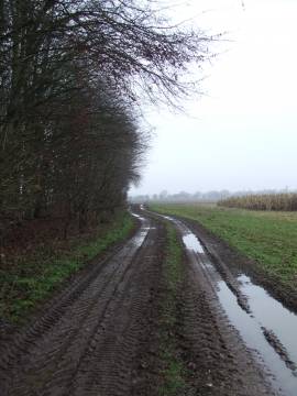
Edge Of Home Covert
-
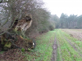
Tree Stump
Edge Of Home Covert
Tree Stump
Location and coordinates are for the approximate centre of Georgiana Plantation within this administrative area. Geographic features and populated places may cross administrative borders.