-
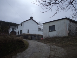
Gelli-gaer Fawr Farm
-
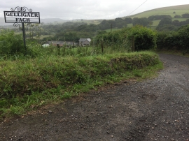
Trackway to Gelligaer Fach
Gelli-gaer Fawr Farm
Trackway to Gelligaer Fach
Location and coordinates are for the approximate centre of Gelli-gaer within this administrative area. Geographic features and populated places may cross administrative borders.