-
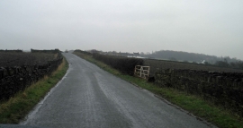
Chimney Lane Cowmes Huddersfield
-

Houses beside Highfield Lane
Chimney Lane Cowmes Huddersfield
Houses beside Highfield Lane
Other current and historical names
Location and coordinates are for the approximate centre of Gawthorpe within this administrative area. Geographic features and populated places may cross administrative borders.