-

On Hebdenhigh Moor. With a view south, along the valley of Gate Up Gill, to Grimwith Reservoir
-
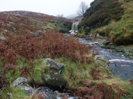
Small waterfall on Gate Up Gill
On Hebdenhigh Moor. With a view south, along the valley of Gate Up Gill, to Grimwith Reservoir
Small waterfall on Gate Up Gill
Location and coordinates are for the approximate centre of Game Ing Flat within this administrative area. Geographic features and populated places may cross administrative borders.