-
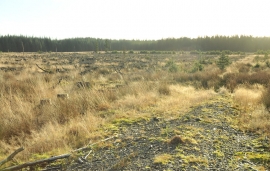
Felled forestry at Kilquhockadale Flow
-
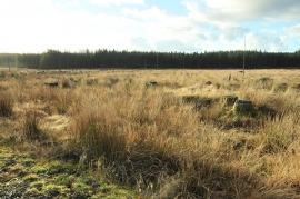
Cleared forestry at Kilquhockadale Flow
Felled forestry at Kilquhockadale Flow
Cleared forestry at Kilquhockadale Flow
Location and coordinates are for the approximate centre of Gall Moss of Dirneark within this administrative area. Geographic features and populated places may cross administrative borders.