-
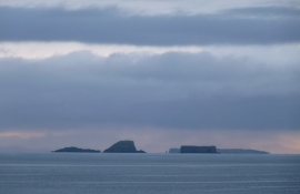
Gaeilavore and Lord MacDonald's Table
-
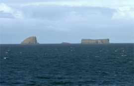
Gaeilavore Island group
Gaeilavore and Lord MacDonald's Table
Gaeilavore Island group
Location and coordinates are for the approximate centre of Gaeilavore Island within this administrative area. Geographic features and populated places may cross administrative borders.