-
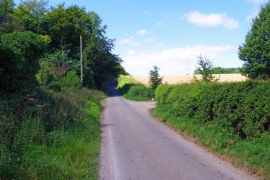
Road to Fulbrook near Burford, Oxon
-
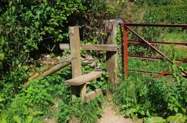
Stile at Dean Bottom, near Burford, Oxon
Road to Fulbrook near Burford, Oxon
Stile at Dean Bottom, near Burford, Oxon
Location and coordinates are for the approximate centre of Furzy Leaze within this administrative area. Geographic features and populated places may cross administrative borders.