-

North Devon : Whitefield Hill
-
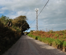
Mobile phone mast on Whitefield Hill
North Devon : Whitefield Hill
Mobile phone mast on Whitefield Hill
Location and coordinates are for the approximate centre of Furzeclose Plantation within this administrative area. Geographic features and populated places may cross administrative borders.