-
Peter Millers Shop, Surrigarth
-
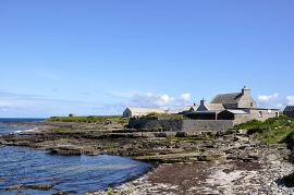
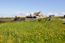
Peter Miller's Shop and Post Office, Surrigarth
Peter Millers Shop, Surrigarth
Peter Miller's Shop and Post Office, Surrigarth
Location and coordinates are for the approximate centre of Furri Geo within this administrative area. Geographic features and populated places may cross administrative borders.