-
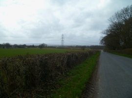
Stane Street
-
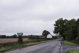
Long view west on New Road to the junction with the A29
Stane Street
Long view west on New Road to the junction with the A29
Location and coordinates are for the approximate centre of Friskeys Wood within this administrative area. Geographic features and populated places may cross administrative borders.