-
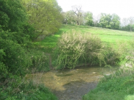
Ford through the River Witham
-
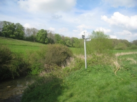
Change in direction by the River Witham
Ford through the River Witham
Change in direction by the River Witham
Location and coordinates are for the approximate centre of Frinkley Plantation within this administrative area. Geographic features and populated places may cross administrative borders.