-
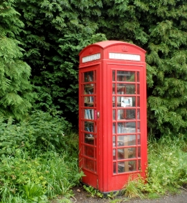
Phone box used as a book exchange, Little Hadham
-

Little Hadham Village Hall
Phone box used as a book exchange, Little Hadham
Little Hadham Village Hall
Location and coordinates are for the approximate centre of Foxearth Wood within this administrative area. Geographic features and populated places may cross administrative borders.