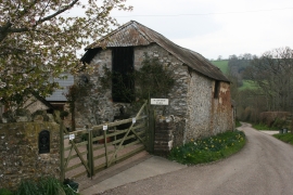
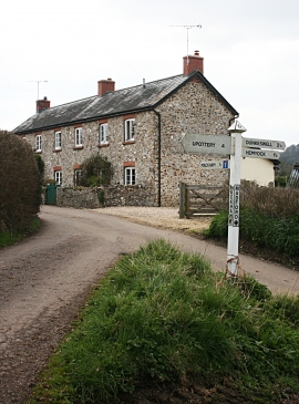
Fore Close Copse, Devon

« Gazetteer Entry
Upload Photo

Fore Close Copse, Devon

  • Parish/Community: Hemyock
  • District/Borough: Mid Devon
  • County: Devon
  • Region: South West
  • Category: Landcover
  • Type: Forest or Wood
  • Latitude/Longitude: 50°53'29"N 3°12'51"W
  • Eastings/Northings: 314695, 110916
  • OS Grid: ST146109
  • Mapcode Local: GBR LW.S3J6
  • Mapcode Global: FRA 464R.CKR

Location and coordinates are for the approximate centre of Fore Close Copse within this administrative area. Geographic features and populated places may cross administrative borders.

BritishPlaceNames.uk is a Good Stuff website.