-

Bus stop at Hillend
-
Winter cereal at Hillend
Bus stop at Hillend
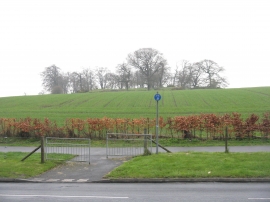
Winter cereal at Hillend
Location and coordinates are for the approximate centre of Fordell Firs within this administrative area. Geographic features and populated places may cross administrative borders.