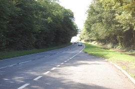
Folkington Wood, East Sussex

« Gazetteer Entry
Upload Photo

Folkington Wood, East Sussex

  • Parish/Community: Long Man
  • District/Borough: Wealden
  • County: East Sussex
  • Region: South East
  • Category: Landcover
  • Type: Forest or Wood
  • Latitude/Longitude: 50°50'50"N 0°14'15"E
  • Eastings/Northings: 557621, 107716
  • OS Grid: TQ576077
  • Mapcode Local: GBR MT7.T1C
  • Mapcode Global: FRA C6DV.LDK

Location and coordinates are for the approximate centre of Folkington Wood within this administrative area. Geographic features and populated places may cross administrative borders.

BritishPlaceNames.uk is a Good Stuff website.