-
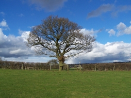
Footpath To Coton Mill Farm
-
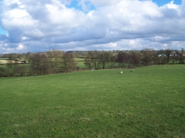
Footpath To Fradswell
Footpath To Coton Mill Farm
Footpath To Fradswell
Location and coordinates are for the approximate centre of Flintmill Rough within this administrative area. Geographic features and populated places may cross administrative borders.