-
A walk around Cottam power stations (15)
-

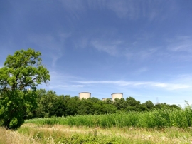
Looking east along Torksey Ferry Road (Byway open to all traffic)
A walk around Cottam power stations (15)
Looking east along Torksey Ferry Road (Byway open to all traffic)
Location and coordinates are for the approximate centre of Fleet Plantation within this administrative area. Geographic features and populated places may cross administrative borders.