-
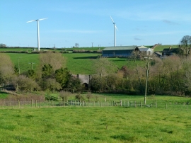
View towards Welby Grange
-
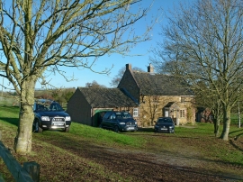
Grange Cottage, Welby
View towards Welby Grange
Grange Cottage, Welby
Location and coordinates are for the approximate centre of Fishponds Spinney within this administrative area. Geographic features and populated places may cross administrative borders.