-
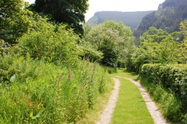
Garden path, Nant-ewyn
-

The church of St. Melangell, Pennant Melangell
Garden path, Nant-ewyn
The church of St. Melangell, Pennant Melangell
Location and coordinates are for the approximate centre of Ffridd Coed within this administrative area. Geographic features and populated places may cross administrative borders.