-
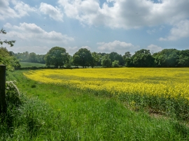
Oilseed Rape, Ferney Hill Farm, Cockfosters, Hertfordshire
-

Hawthorn Blossom, Trent Park, Cockfosters, Hertfordshire
Oilseed Rape, Ferney Hill Farm, Cockfosters, Hertfordshire
Hawthorn Blossom, Trent Park, Cockfosters, Hertfordshire
Location and coordinates are for the approximate centre of Fernyhill Wood within this administrative area. Geographic features and populated places may cross administrative borders.