-
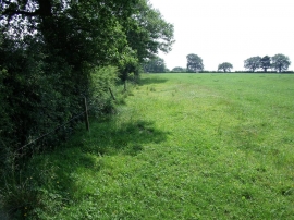
Old road to Wetley Rocks
-
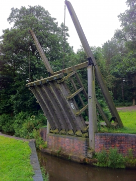
A new lifting bridge on the Caldon Canal
Old road to Wetley Rocks
A new lifting bridge on the Caldon Canal
Location and coordinates are for the approximate centre of Felthouse Wood within this administrative area. Geographic features and populated places may cross administrative borders.