-
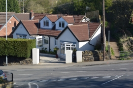
Coal Hill Lane, Rodley, Leeds
-
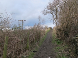
Path up from Farsley Beck Bottom
Coal Hill Lane, Rodley, Leeds
Path up from Farsley Beck Bottom
Other current and historical names
Location and coordinates are for the approximate centre of Farsley Beck Bottom within this administrative area. Geographic features and populated places may cross administrative borders.