-
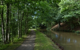
Leeds and Liverpool Canal in Farnhill Wood
-
Farnhill Wood
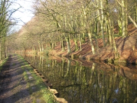
Leeds and Liverpool Canal in Farnhill Wood
Farnhill Wood
Location and coordinates are for the approximate centre of Farnhill Wood within this administrative area. Geographic features and populated places may cross administrative borders.