-
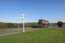
Oxford Road, Farmoor
-
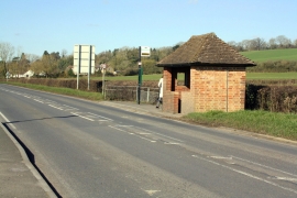
Bus shelter beside B4044
Oxford Road, Farmoor
Bus shelter beside B4044
Location and coordinates are for the approximate centre of Farmoor within this administrative area. Geographic features and populated places may cross administrative borders.