-
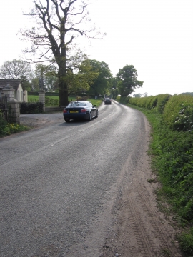
Pexhill Road, Siddington
-
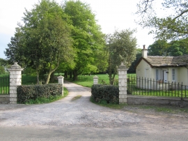
Gatehouse and entrance drive Thornycroft Hall
Pexhill Road, Siddington
Gatehouse and entrance drive Thornycroft Hall
Location and coordinates are for the approximate centre of Fanshawe Brook within this administrative area. Geographic features and populated places may cross administrative borders.