-
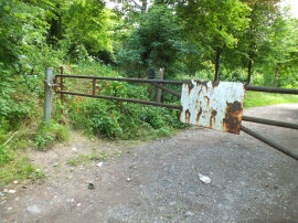
To Ravensburgh Castle
-
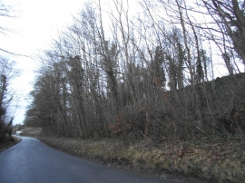
Woods by Hexton Road
To Ravensburgh Castle
Woods by Hexton Road
Location and coordinates are for the approximate centre of Fanny's Spinney within this administrative area. Geographic features and populated places may cross administrative borders.