-
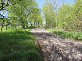
Track through Fanny Turner's Wood
-
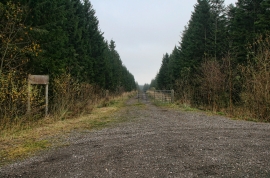
Greystoke Forest
Track through Fanny Turner's Wood
Greystoke Forest
Location and coordinates are for the approximate centre of Fanny Turner's Wood within this administrative area. Geographic features and populated places may cross administrative borders.