-
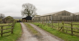
Farm buildings at Lily Hill
-
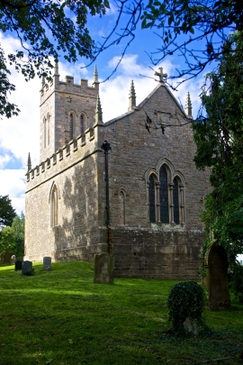
St Mary's Church, Brignall
Farm buildings at Lily Hill
St Mary's Church, Brignall
Location and coordinates are for the approximate centre of Fames Wood within this administrative area. Geographic features and populated places may cross administrative borders.