-
Mid Devon : Countryside Scenery
-
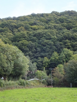
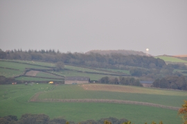
Fairby Wood and the Exe flood plain
Mid Devon : Countryside Scenery
Fairby Wood and the Exe flood plain
Location and coordinates are for the approximate centre of Fairby Wood within this administrative area. Geographic features and populated places may cross administrative borders.