-
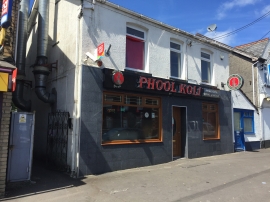
Phool Koli
-
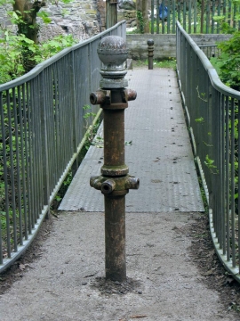
Disused turnstile posts on Lower Clydach River footbridge
Phool Koli
Disused turnstile posts on Lower Clydach River footbridge
Other current and historical names
Location and coordinates are for the approximate centre of Faerdre within this administrative area. Geographic features and populated places may cross administrative borders.