-
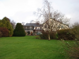
Ty'n Rhos hotel, Seion
-
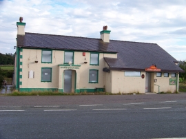
Gors Bach Inn, Llanddeiniolen
Ty'n Rhos hotel, Seion
Gors Bach Inn, Llanddeiniolen
Other current and historical names
Location and coordinates are for the approximate centre of Fachell within this administrative area. Geographic features and populated places may cross administrative borders.