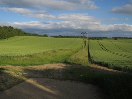
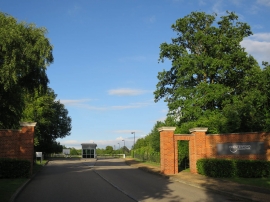
Emanuel Wood, Essex

« Gazetteer Entry
Upload Photo

Emanuel Wood, Essex

  • Parish/Community: Little Chesterford
  • District/Borough: Uttlesford
  • County: Essex
  • Region: Eastern
  • Category: Landcover
  • Type: Forest or Wood
  • Latitude/Longitude: 52°3'11"N 0°13'47"E
  • Eastings/Northings: 553000, 241754
  • OS Grid: TL530417
  • Mapcode Local: GBR MBP.BXT
  • Mapcode Global: VHHKX.XNYG

Location and coordinates are for the approximate centre of Emanuel Wood within this administrative area. Geographic features and populated places may cross administrative borders.

BritishPlaceNames.uk is a Good Stuff website.