-
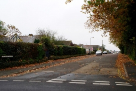
Salisbury Road, Ryde
-
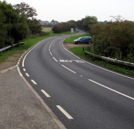
East along Smallbrook Lane
Salisbury Road, Ryde
East along Smallbrook Lane
Location and coordinates are for the approximate centre of Elmfield within this administrative area. Geographic features and populated places may cross administrative borders.