-

Postbox, Main Street, Ellenborough, Maryport
-
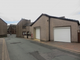
Garages, Main Street, Ellenborough, Maryport
Postbox, Main Street, Ellenborough, Maryport
Garages, Main Street, Ellenborough, Maryport
Other current and historical names
Location and coordinates are for the approximate centre of Ellenborough within this administrative area. Geographic features and populated places may cross administrative borders.