-
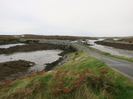
Bridges to Grimsay
-
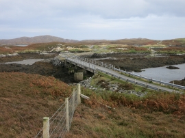
Bridge from Grimsay
Bridges to Grimsay
Bridge from Grimsay
Location and coordinates are for the approximate centre of Eilean Dubh Fo Thuath within this administrative area. Geographic features and populated places may cross administrative borders.