-

A long view from Grantchester
-
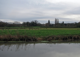
Grantchester: water meadows
A long view from Grantchester
Grantchester: water meadows
Location and coordinates are for the approximate centre of Eight Acre Wood within this administrative area. Geographic features and populated places may cross administrative borders.