-
Adult store beside the A63
-

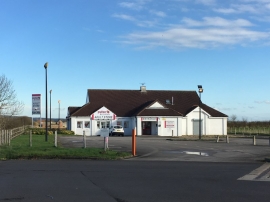
Adult store by the A63 service station near Newport
Adult store beside the A63
Adult store by the A63 service station near Newport
Location and coordinates are for the approximate centre of Eight Acre Lake within this administrative area. Geographic features and populated places may cross administrative borders.