-
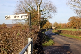
Bickerton Road near Egerton Green
-
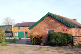
Yew Tree Organic Farm, Egerton Green
Bickerton Road near Egerton Green
Yew Tree Organic Farm, Egerton Green
Location and coordinates are for the approximate centre of Egerton Green within this administrative area. Geographic features and populated places may cross administrative borders.