-
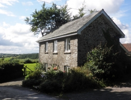
House at North Radworthy
-
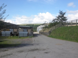
Farmyard, Higher North Radworthy
House at North Radworthy
Farmyard, Higher North Radworthy
Location and coordinates are for the approximate centre of Eastern Barham Wood within this administrative area. Geographic features and populated places may cross administrative borders.