-
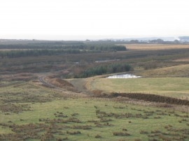
Railway lines, branches and twigs
-
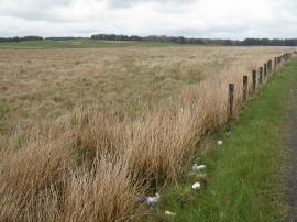
The roadside to Fauldhouse
Railway lines, branches and twigs
The roadside to Fauldhouse
Location and coordinates are for the approximate centre of Easter Plantation within this administrative area. Geographic features and populated places may cross administrative borders.