-
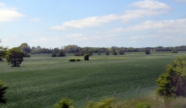
Fields near Mersham
-
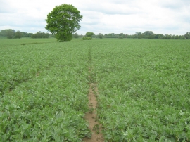
Footpath in a field towards East Stour River
Fields near Mersham
Footpath in a field towards East Stour River
Location and coordinates are for the approximate centre of East Stour River within this administrative area. Geographic features and populated places may cross administrative borders.