-

Field edge pond at Woodhouse Farm
-
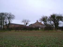
Woodhouse Farm
Field edge pond at Woodhouse Farm
Woodhouse Farm
Location and coordinates are for the approximate centre of East Redcarr Plantn within this administrative area. Geographic features and populated places may cross administrative borders.