-
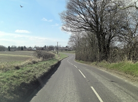
A338 approaches East Grafton
-
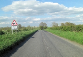
A338 south of Severalls
A338 approaches East Grafton
A338 south of Severalls
Other current and historical names
Location and coordinates are for the approximate centre of East Grafton within this administrative area. Geographic features and populated places may cross administrative borders.