-
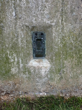
OS Flush Bracket S5079
-
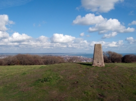
Trig point of East Dean Hill
OS Flush Bracket S5079
Trig point of East Dean Hill
Location and coordinates are for the approximate centre of East Dean Hill within this administrative area. Geographic features and populated places may cross administrative borders.