-
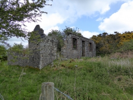
The ruins of Watchet Hill Cottage, Belstone
-
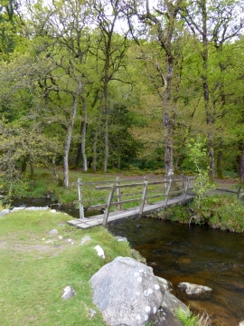
Footbridge over the East Okement River
The ruins of Watchet Hill Cottage, Belstone
Footbridge over the East Okement River
Location and coordinates are for the approximate centre of East Bowden Wood within this administrative area. Geographic features and populated places may cross administrative borders.