-
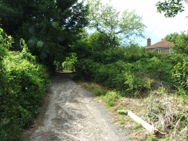
Bayview Road, Kingsdown
-
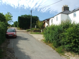
Queensdown Road, Kingsdown
Bayview Road, Kingsdown
Queensdown Road, Kingsdown
Location and coordinates are for the approximate centre of East Bottom within this administrative area. Geographic features and populated places may cross administrative borders.