-
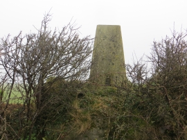
A hedge topping Triangulation Pillar set on a large plinth near the Tumulus at Cottage Plantation
-
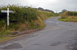
Blatchborough Cross
A hedge topping Triangulation Pillar set on a large plinth near the Tumulus at Cottage Plantation
Blatchborough Cross
Location and coordinates are for the approximate centre of East Blatchborough Plantation within this administrative area. Geographic features and populated places may cross administrative borders.