-

View from Riverford Viaduct
-
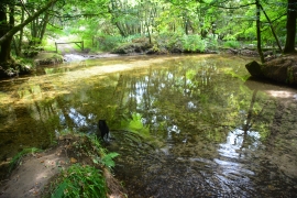
Bickleigh Ford
View from Riverford Viaduct
Bickleigh Ford
Location and coordinates are for the approximate centre of Earl's Wood within this administrative area. Geographic features and populated places may cross administrative borders.