-
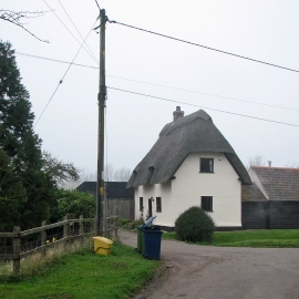
Dyer's Green: cottage in Bridge Street
-
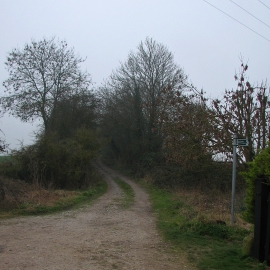
Paths south of Dyer's Green
Dyer's Green: cottage in Bridge Street
Paths south of Dyer's Green
Location and coordinates are for the approximate centre of Dyer's Green within this administrative area. Geographic features and populated places may cross administrative borders.