-
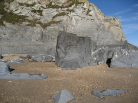
Cliff face and rocks on sand at Beesands
-
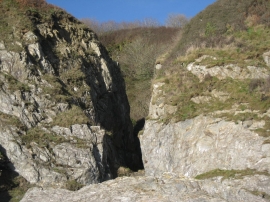
Bee sands, cliff face view
Cliff face and rocks on sand at Beesands
Bee sands, cliff face view
Location and coordinates are for the approximate centre of Dun Point within this administrative area. Geographic features and populated places may cross administrative borders.